cycling, history and adventure

A thousand kilometres by road bike along the oldest border in Europe, from Sanabria to the Atlantic.

1,030kilometres
11,100metres of climbing
1,065metres, highest point
6regions on both sides
Monsanto, Beira Baixa
Self-guided route · north → south

La Raya, A Raia

The border between Spain and Portugal was drawn in the 13th century through treaties such as Alcañices (1297). It is the oldest land border in Europe, and for seven centuries it has been a wall, a river, a smuggling route and a neighbourhood. Spaniards call it la Raya; the Portuguese, a Raia.

This route follows it from north to south by road bike: a thousand kilometres through half-empty villages, stone fortresses, deep river canyons and endless oak pastures, crossing the border again and again until it reaches the Atlantic in the Algarve.

It is not a race and has no date: ride it whenever you like, in one go or in sections. Here you will find the route, the track and what you need to know.

the border and the route that stitches it
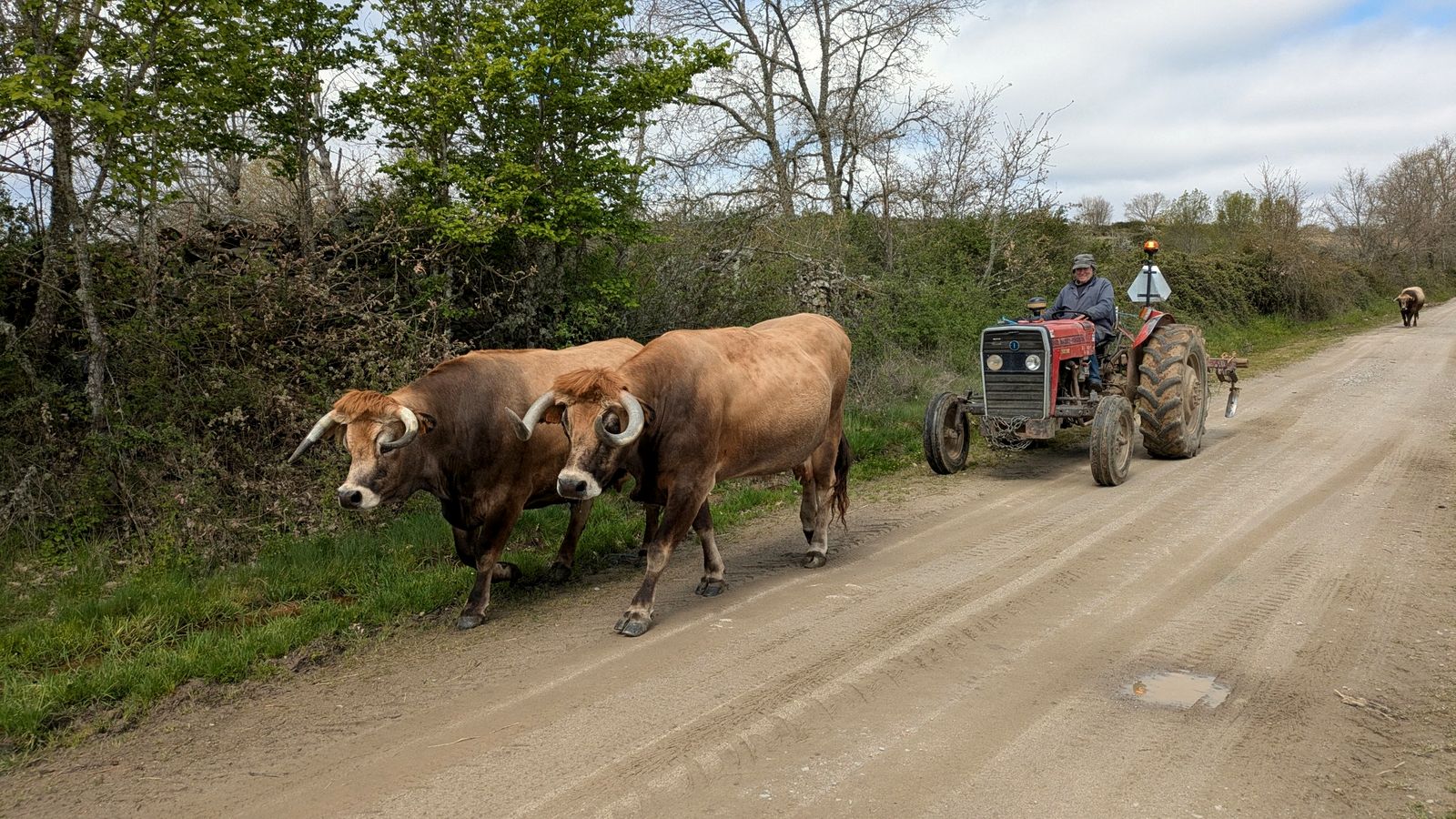
Two oxen walk along a dirt track followed by a red tractor
Rush hour on the Raya
The route

The map

The actual track, from Puebla de Sanabria to Vila Real de Santo António, over the Raya: the red dash-dot line is the border.

PORTUGALSPAINTRÁS-OS-MONTESARRIBESRIBA-CÔABEIRA BAIXAEXTREMADURAALENTEJOALGARVEDuero · DouroTajo · TejoGuadianaMiño · MinhoCôaAtlantic OceanBRAGANÇAMIRANDA DO DOUROFERMOSELLEPINHELALMEIDACASTELO MENDOSABUGALSORTELHAMONSANTOALCÁNTARAVALENCIA DE ALCÁNTARAMARVÃOCASTELO DE VIDEELVASOLIVENZASERPAMÉRTOLAALCOUTIMferry ⇄Puebla de SanabriaVila Real de Sto. AntónioBragança · castleArribes · griffon vultureAlmeida · star fortGranite: Sortelha and MonsantoRoman bridge of AlcántaraMarvão · eagle's nestElvas · Amoreira aqueductCork oak · the dehesaMértola on the GuadianaSanlúcar ⇄ Alcoutim ferryCYCLING · HISTORY · ADVENTURESANABRIA → VILA REALLA RAIADISTANCE: 1,030 KMCLIMBING: +11,100 MMadridLisbonN50 km

← swipe to see the whole map →

Elevation profile

From 900 metres to sea level

The first half holds almost two thirds of the climbing. From Alcántara the terrain softens towards the Alentejo and the Guadiana.

12345625050075010000 m01002003004005006007008009001000 kmBragançaMiranda do DouroAlmeidaSortelhaMonsantoAlcántaraMarvãoElvasSerpaMértola
  1. 1Sanabria and Trás-os-Montes
  2. 2Arribes and Planalto Mirandês
  3. 3Riba-Côa and Beira Alta
  4. 4Beira Baixa and São Mamede
  5. 5Alentejo and Extremadura
  6. 6Lower Guadiana and Algarve
Six regions, north to south

The stages

The description follows the regions the route crosses. The red bar shows where each stage falls within the 1,030 km.

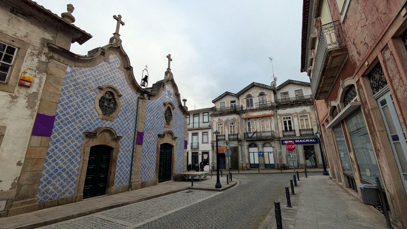
Chapel with a façade covered in blue tiles in Bragança
Bragança
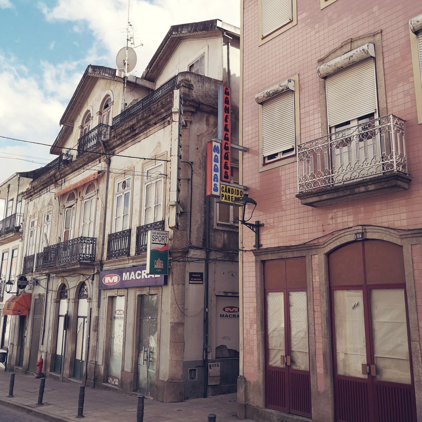
Street in Bragança with old façades, iron balconies and shop signs
Bragança, the lower town
1

Sanabria and Upper Trás-os-Montes

km 0 – 134 · 134 km · +1,570 m

The journey starts in the old lands of León, in the Sanabria district of Zamora. Puebla de Sanabria, a listed historic town, watches over the natural pass between the Meseta and Galicia from the castle of the Counts of Benavente.

Crossing the Sierra de la Culebra and the Serra de Montesinho, you enter Trás-os-Montes, one of the most mountainous and isolated parts of Portugal. That isolation has preserved ancient traditions such as the masked caretos rituals.

  • Bragança · former seat of the country's most powerful dukedom. Its walled medieval citadel holds the Torre de Menagem keep and the Domus Municipalis, an extremely rare Romanesque civic building.
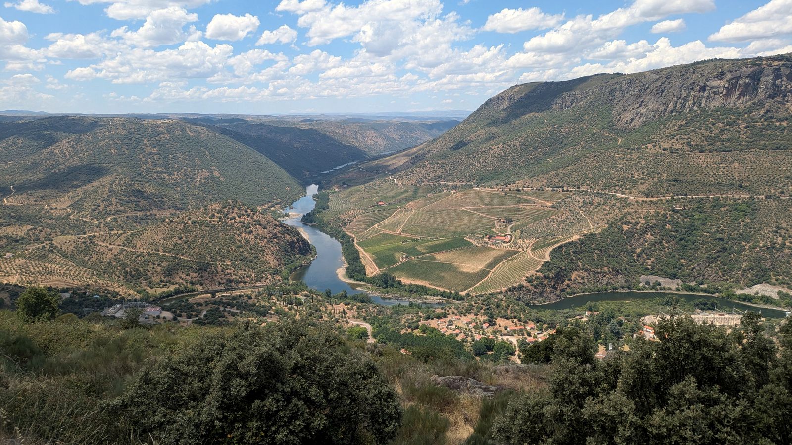
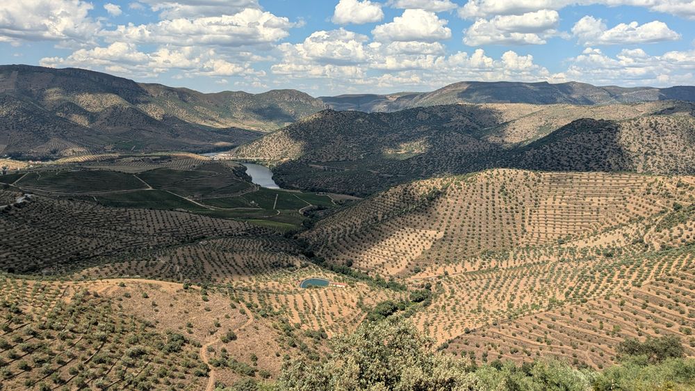
A bend of the Douro between slopes of vineyards and olive trees under a cloudy sky
The Douro valley
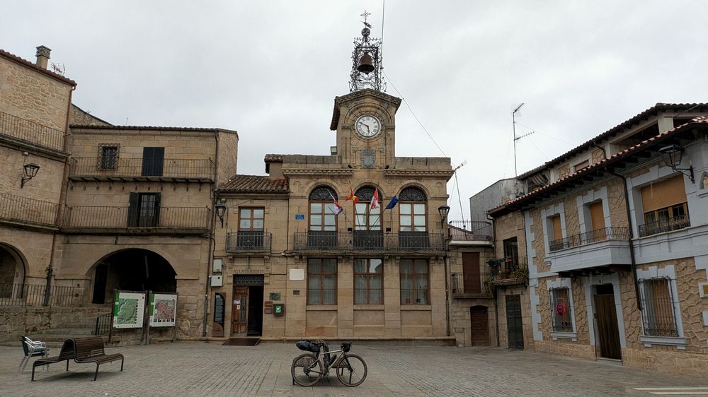
Main square of Fermoselle with the stone town hall and a loaded bicycle in the foreground
Fermoselle
Terraced olive groves above the river
Olive groves above the Douro
2

The Arribes del Duero and the Planalto Mirandês

km 134 – 312 · 178 km · +2,570 m

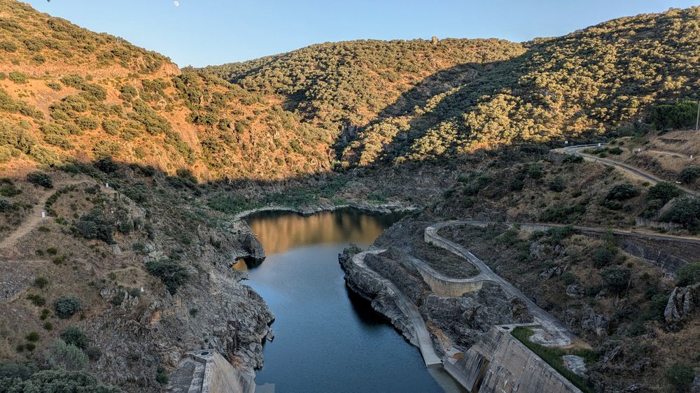
Heading south, the land flattens into the Planalto Mirandês until the Douro breaks through it, carving canyons up to 400 metres deep. This natural border forms the Arribes del Duero Natural Park in Spain and the Douro Internacional Natural Park in Portugal.

  • Miranda do Douro · heart of Mirandese culture, where people still speak Mirandese, an officially protected Astur-Leonese language.
  • Fermoselle · back in Zamora, a medieval village whose ground is honeycombed with hundreds of wine cellars dug by hand into the bedrock.
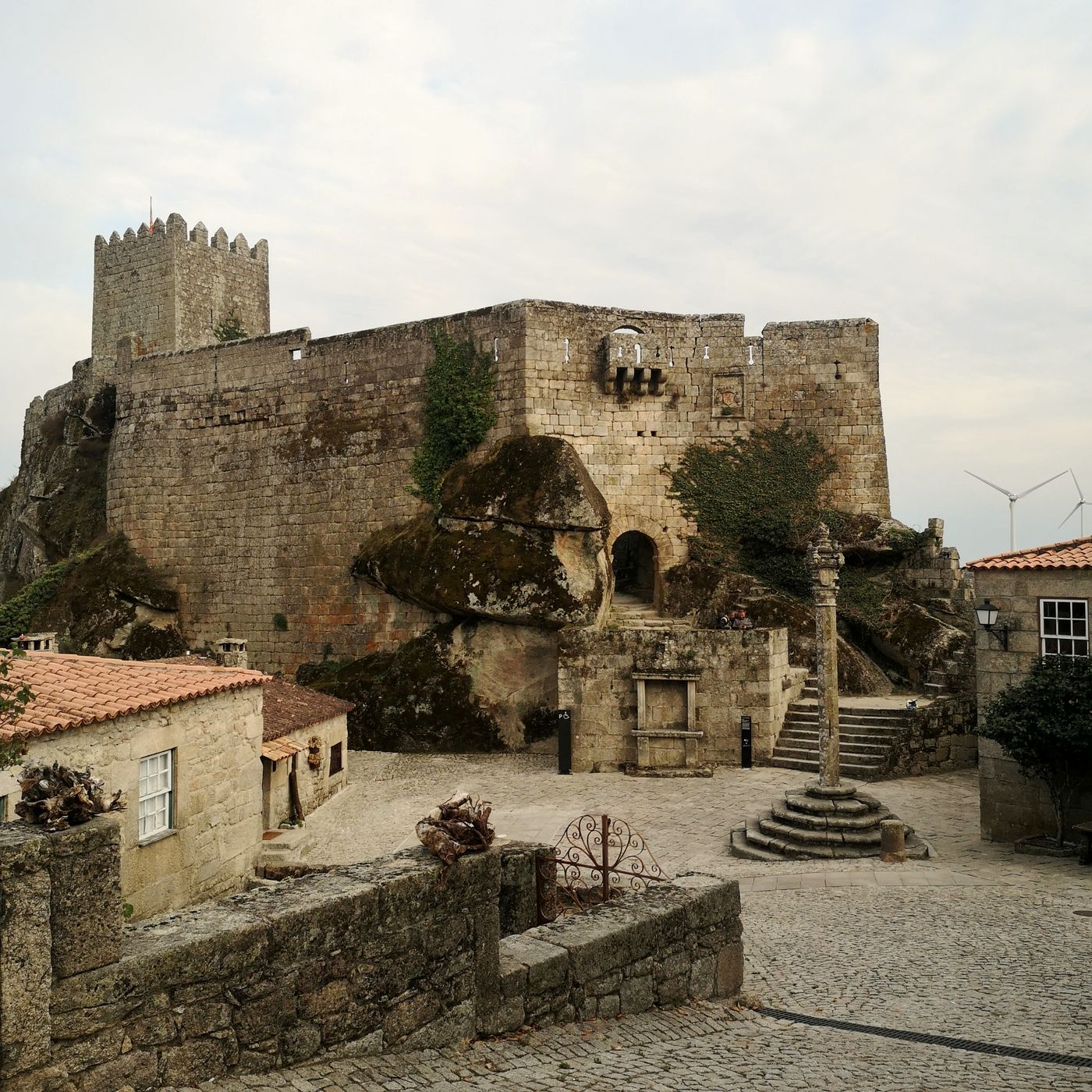
Sortelha castle built on huge granite boulders, with the pillory in the square
Sortelha
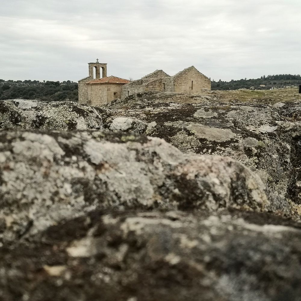
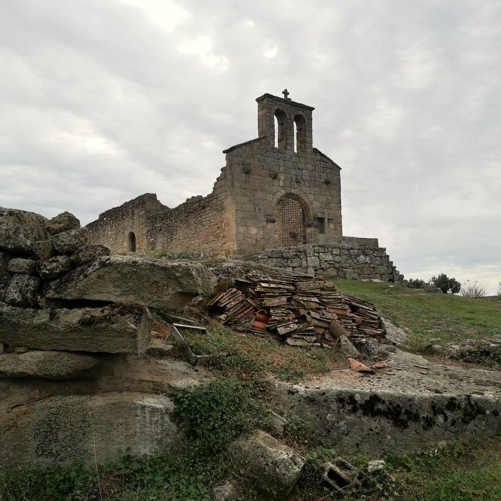
Ruins of a church on granite slabs in Castelo Mendo
Castelo Mendo
Another view of the church ruins in Castelo Mendo
Castelo Mendo
3

The lands of Riba-Côa and Beira Alta

km 312 – 474 · 162 km · +2,210 m

Leaving the Douro behind, you enter Riba-Côa, a granite plateau shaped by the river Côa. The kingdoms of León and Portugal fought fiercely over this land until the Treaty of Alcañices. To secure the border, Portuguese kings built a dense network of fortified villages, today known as the Historical Villages of Portugal.

  • Pinhel · the "falcon city", ringed by hills and guarded by two towers.
  • Almeida · a gem of military architecture: its walls form a twelve-pointed star, with 17th-century bastions designed to withstand heavy artillery.
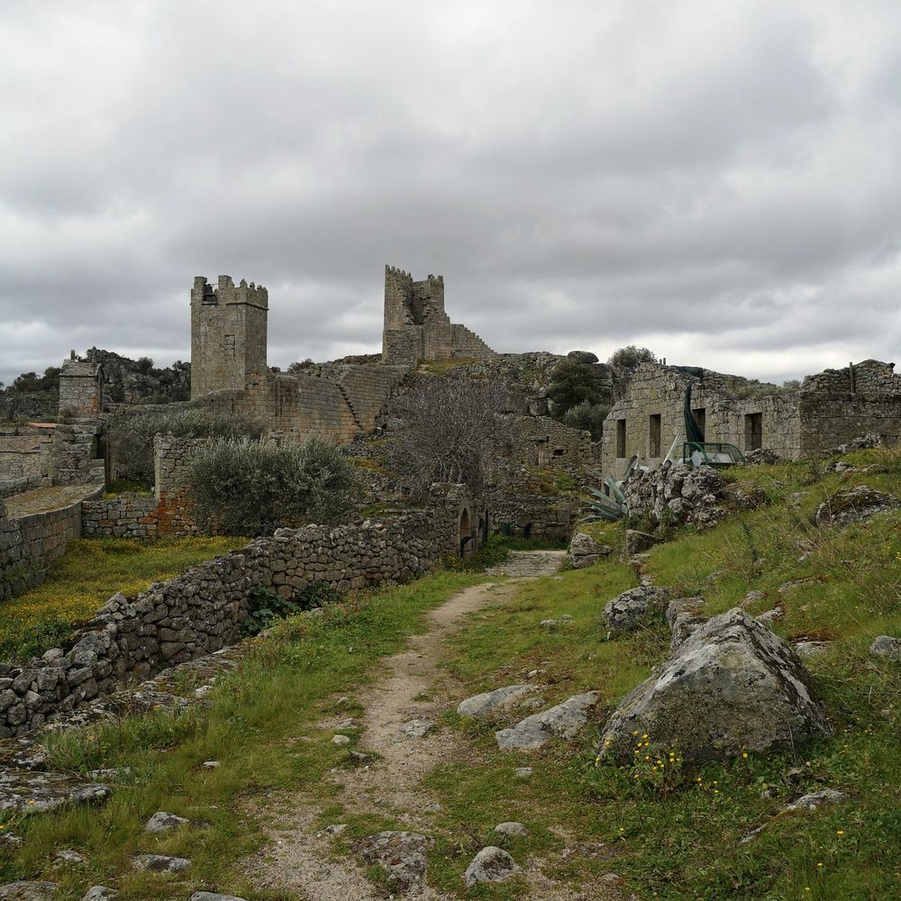
  • Castelo Mendo · a village that keeps its medieval walls, guarded by ancient stone boars (berrões).
  • Sabugal · an unusual castle with a pentagonal keep.
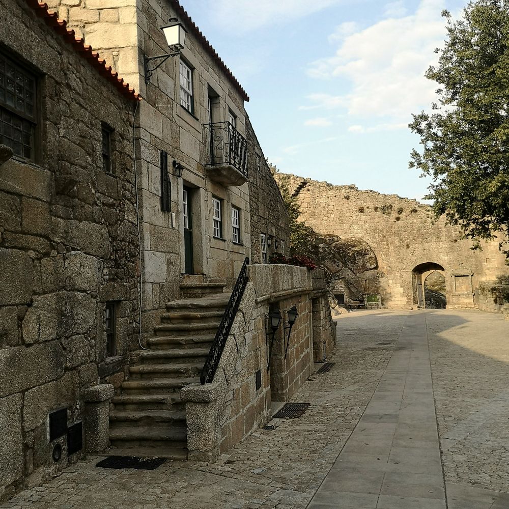
  • Sortelha · one of the most beautiful villages in Portugal, wedged between granite masses and crowned by a fortress on the rocks.
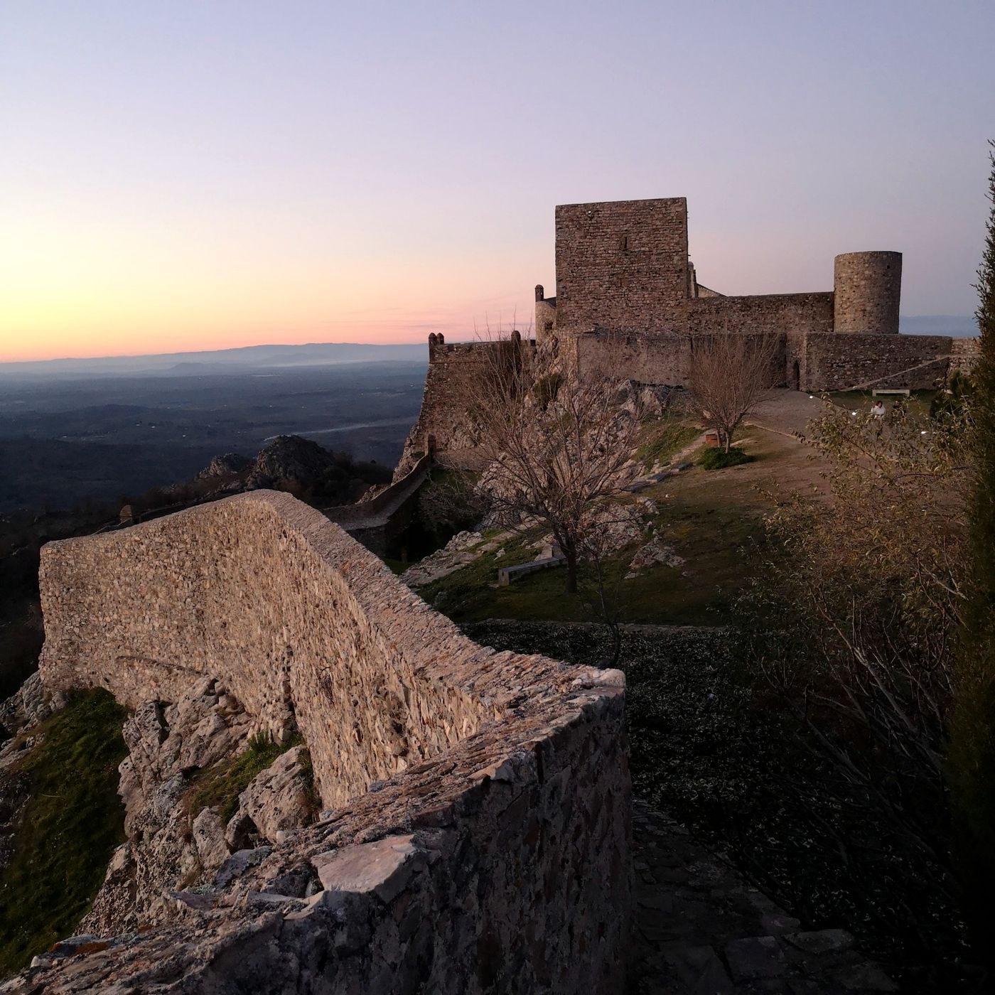
Walls and keep of Marvão castle at dusk, above the plain
Marvão at dusk
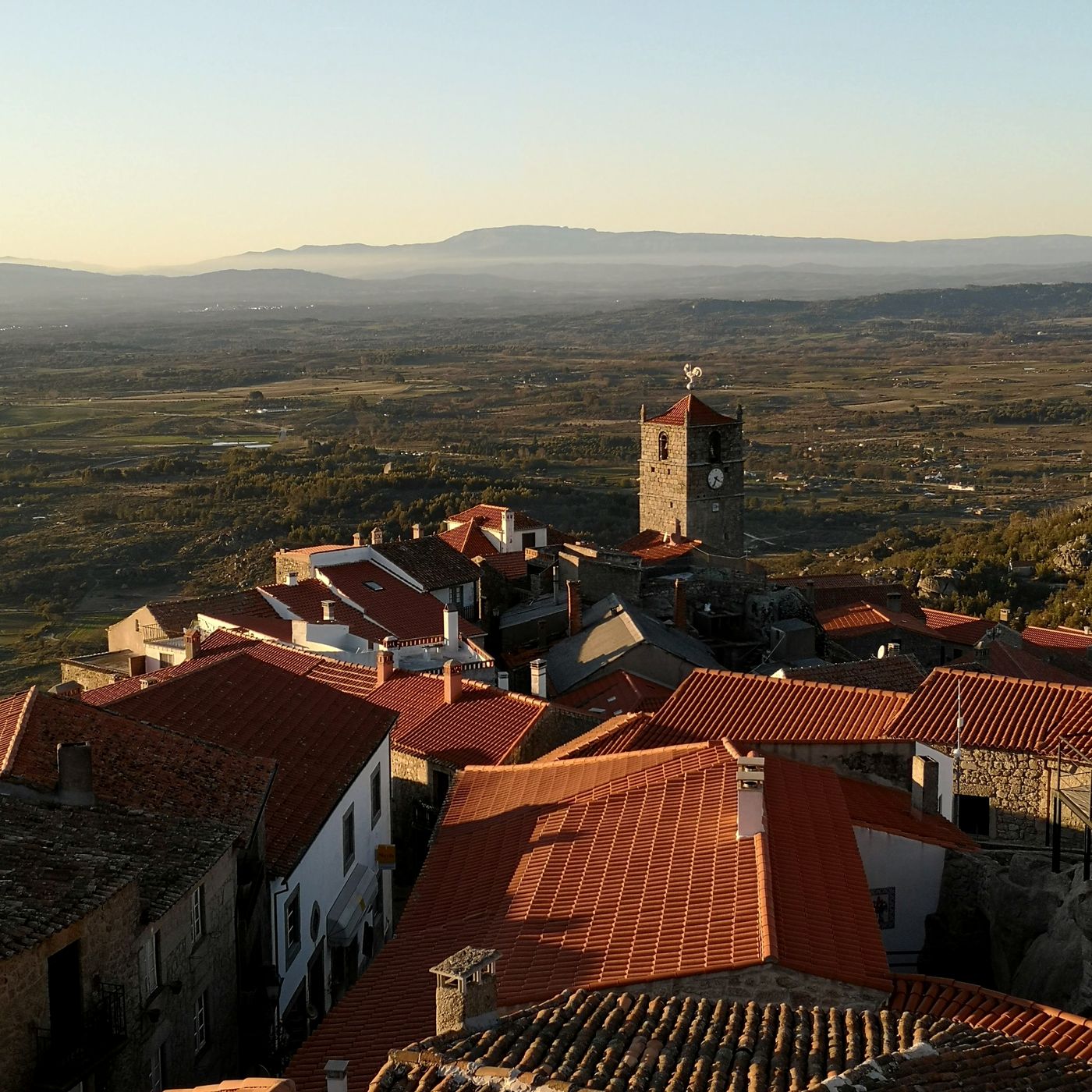
Red roofs and the clock tower of Monsanto with the plain behind
Monsanto
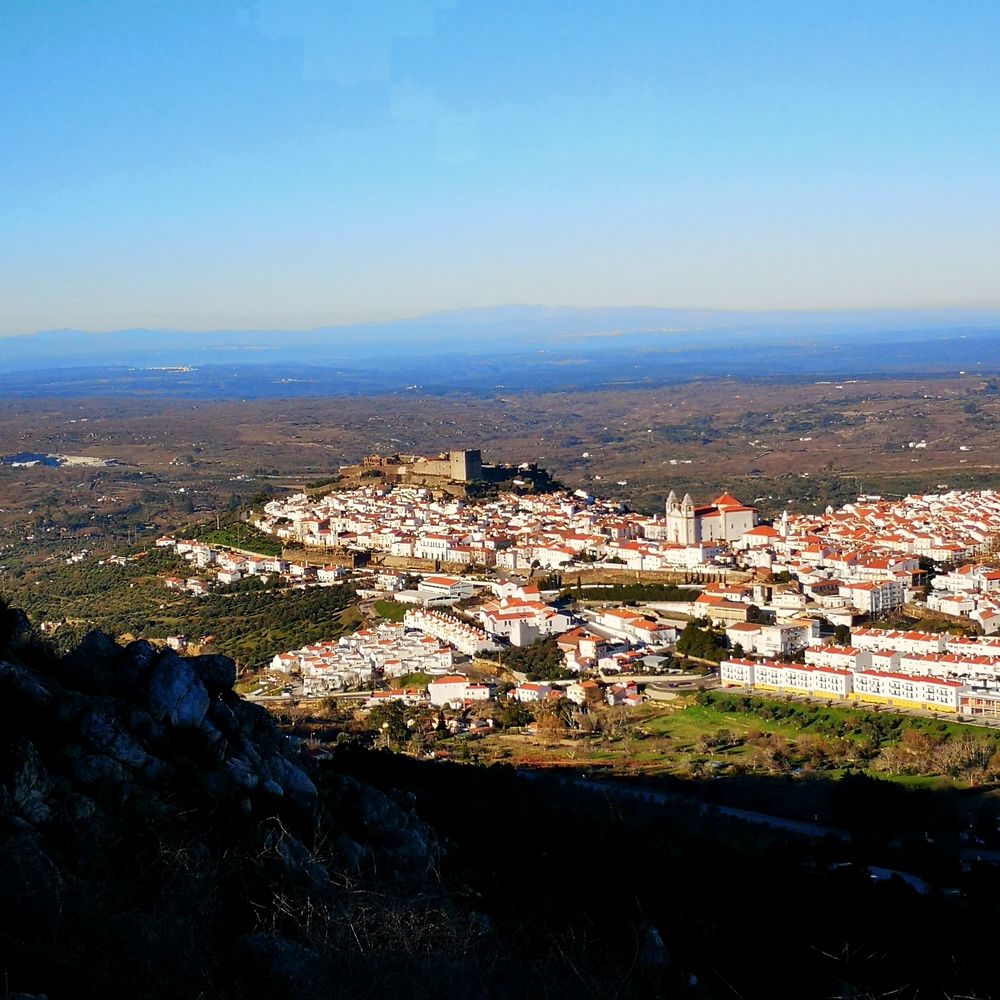
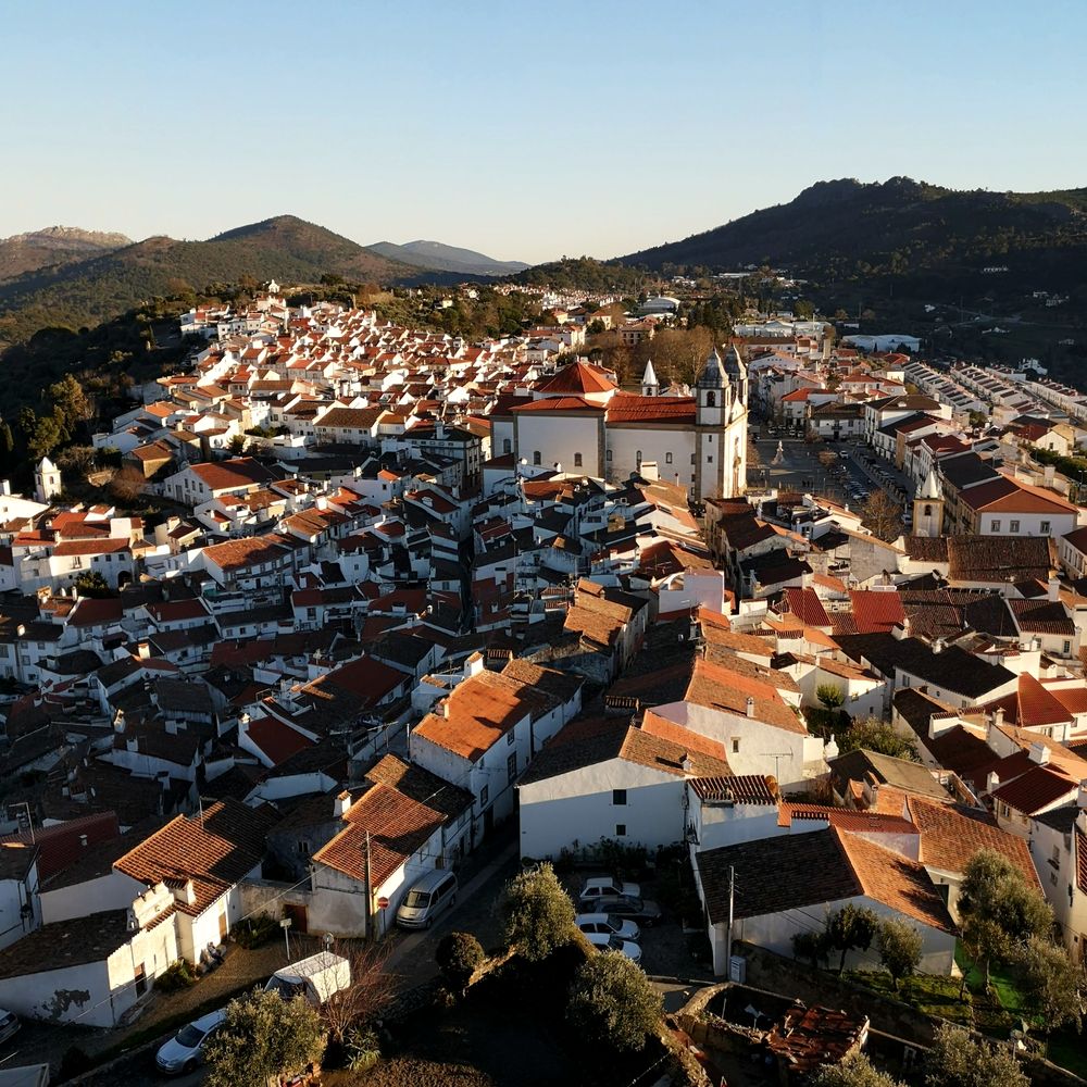
Castelo de Vide, whitewashed houses around the castle, seen from the hills
Castelo de Vide
4

Beira Baixa and the Serra de São Mamede

km 474 – 743 · 269 km · +2,770 m

Crossing into the Tagus basin, the landscape changes: the plains of Beira Baixa give way to small ranges and hills of olive and holm oak.

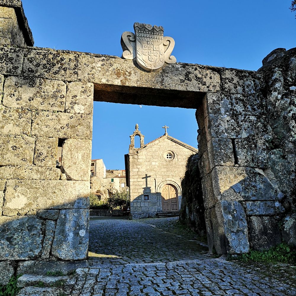
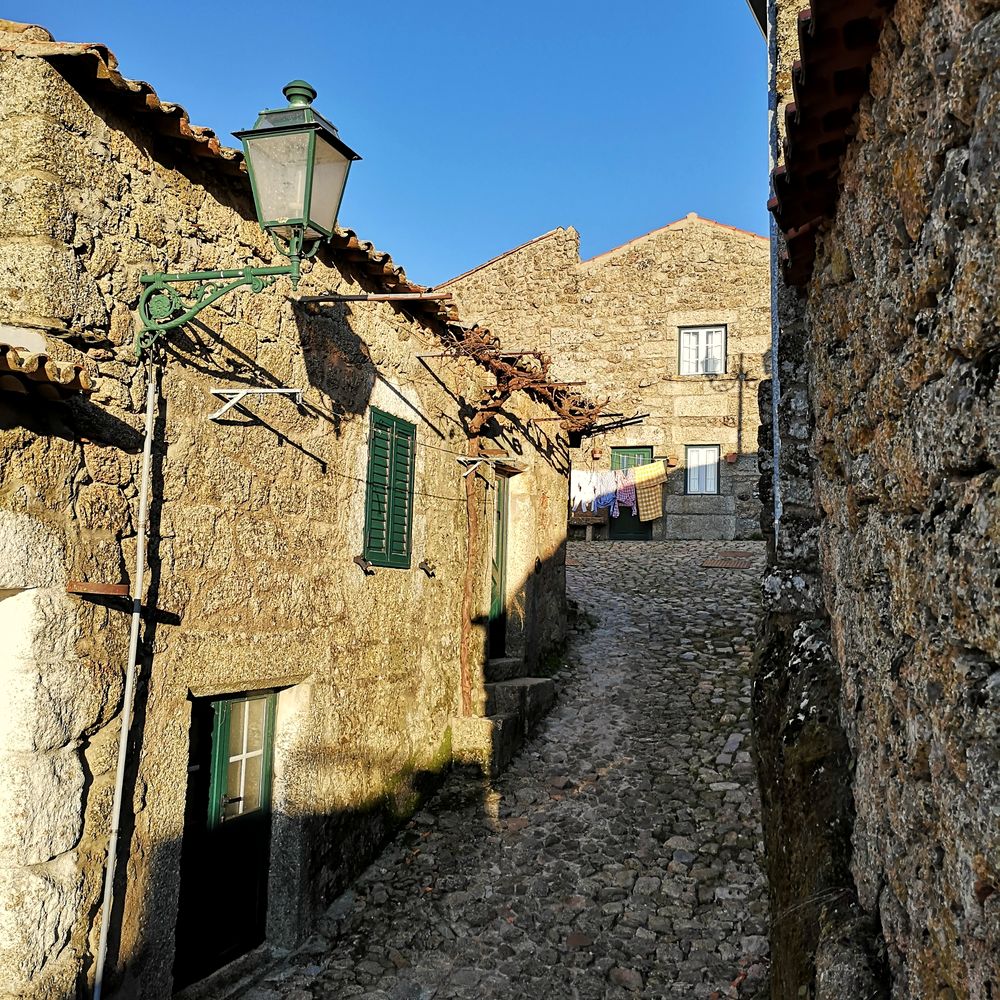
  • Monsanto · houses merge with giant granite boulders that serve as walls, roofs or foundations, below the ruins of a Templar castle.
  • Alcántara · back in Cáceres, the Tagus and its Roman bridge, a 2nd-century masterpiece that has survived battles and floods for almost two thousand years.
  • Valencia de Alcántara · in the São Mamede natural park, home to one of the most important groups of megalithic dolmens in Europe.
  • Marvão · right across the border, a medieval eagle's nest at almost 900 metres on a sheer crag.
  • Castelo de Vide · whitewashed façades and one of the best-preserved medieval Jewish quarters in the Iberian Peninsula.
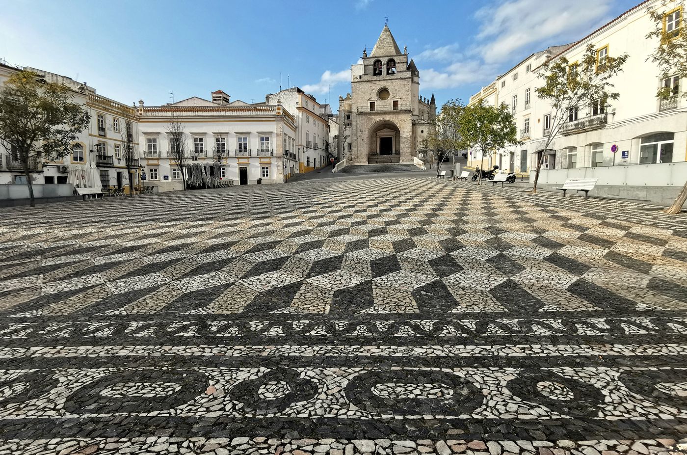
Praça da República in Elvas with its black-and-white cobbled paving and the old cathedral
Elvas, Praça da República
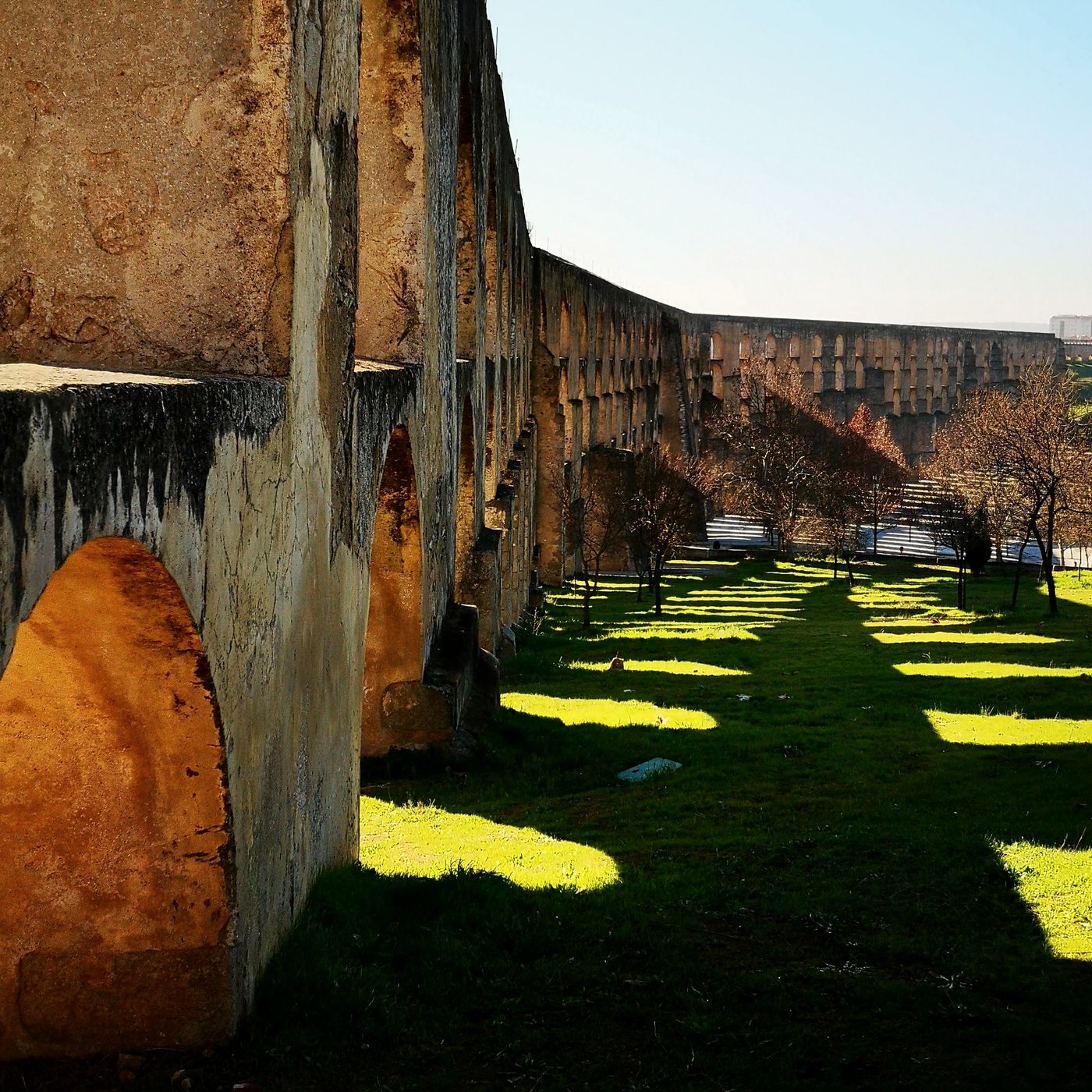
Arches of the Amoreira aqueduct casting shadows on the grass
Amoreira aqueduct
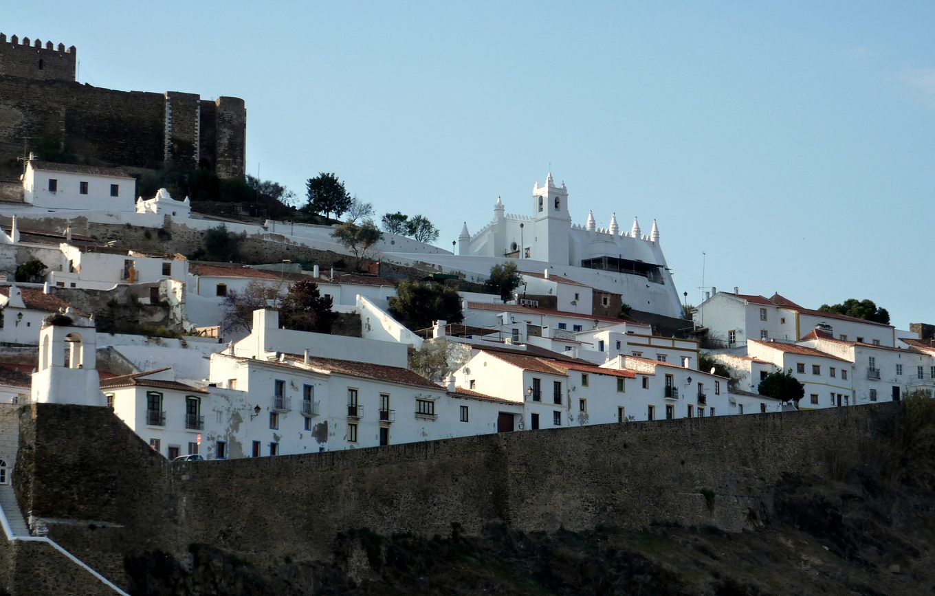
Mértola, white houses and the church that was once a mosque below the castle walls
Mértola
5

The great Alentejo and Extremadura

km 743 – 987 · 244 km · +1,670 m

From here the relief softens and the Alentejo and the province of Badajoz open up: the land of cork and holm-oak pastures. These plains were the stage for the battles of the Portuguese Restoration War (1640–1668).

  • Elvas · the largest bastioned fortification in the world, a UNESCO World Heritage Site for its star forts and the Amoreira aqueduct.
  • Olivenza · Portuguese until 1801. Its Manueline architecture, cobbled streets and the dual nationality of many residents show the most welcoming face of the Raya.
  • Serpa · still keeps much of its walled enclosure.
  • Mértola · above the Guadiana, a key river port since Phoenician and Roman times. It keeps the only church in Portugal that was once a mosque (12th century), with its mihrab still facing Mecca.
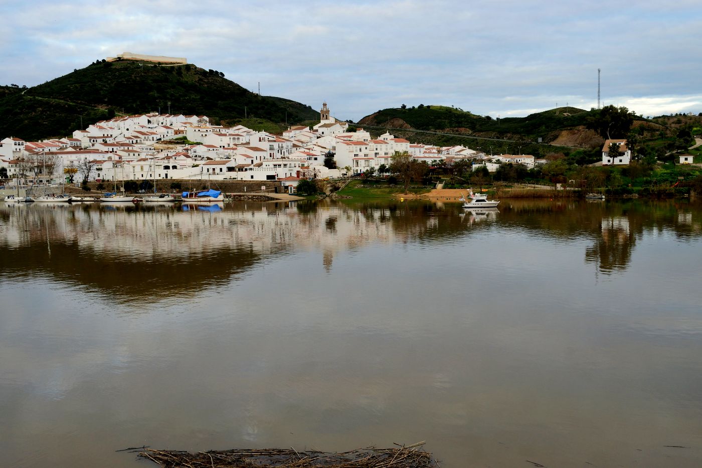
Sanlúcar de Guadiana, a white village by the river with moored boats and the castle above
Sanlúcar de Guadiana, from the river
End of the Raya km 1,030 Salt cod or seafood rice by the sea.
6

The finish: the Lower Guadiana and the Algarve

km 987 – 1,030 · 43 km · +330 m

The route follows the banks of the Guadiana down to the Atlantic Ocean in the eastern Algarve. On the way you cross the river on the small ferry between Sanlúcar de Guadiana and Alcoutim.

  • Vila Real de Santo António · a border port town built in record time in 1774 by the Marquis of Pombal. Its perfect grid and the Praça Marquês de Pombal follow Enlightenment ideals after the Lisbon earthquake. The perfect place to celebrate the end of the journey.
Before you go

Practical

The essentials for planning the route, in full or in sections.

Getting there and back

By train, in sections

Being so long, it is easy to ride in parts. There are trains to Salamanca, Plasencia, Cáceres and Badajoz; from there, a short link ride takes you to the track wherever you want to join it.

The start

Sanabria

Puebla de Sanabria used to have a regular train station, but services changed with the high-speed line. Check on Renfe which trains stop in the area today and whether they take bikes before booking.

The last crossing

Guadiana ferry

There is no bridge between Sanlúcar de Guadiana and Alcoutim: you cross on a small boat that carries bikes. The timetable is posted at the jetty; check it in advance so you are not left on the bank.

Services

Sleep, food, water

The route passes many mid-sized towns with all kinds of services. In the Alentejo the gaps between villages are longer: in summer, carry plenty of water.

Direction

North to south

You start at 900 metres and finish at sea level. The hardest parts (Arribes, Riba-Côa and the Beira) come in the first half, while your legs are fresh.

Mind the clock

One hour behind in Portugal

Portugal is one hour behind Spain, and the route crosses the border many times. Keep it in mind for closing times, meals and the ferry.

Track GPX

1,030 km · road bike · .gpx file (2 MB)

Download the track Open it in Komoot, Garmin Connect, Wahoo or your navigation app.
Photos from the road

Raia notebook

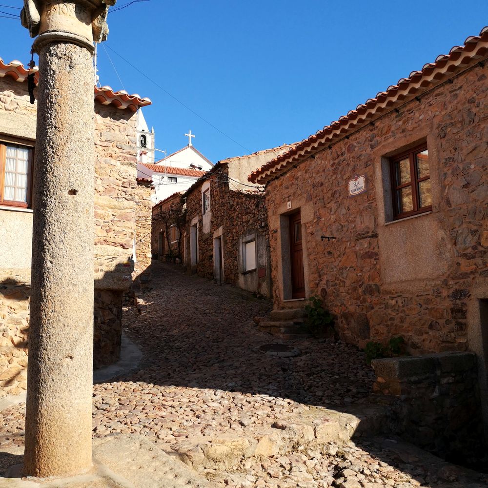
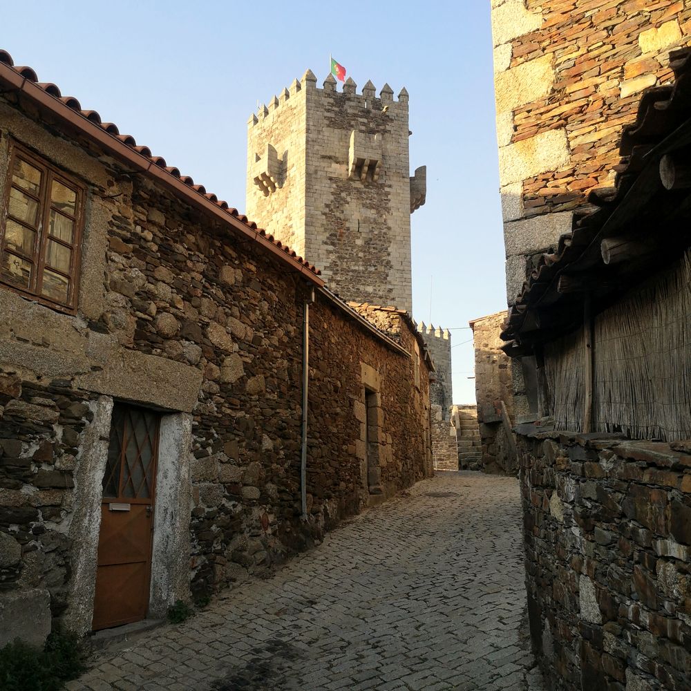
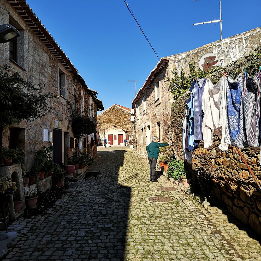
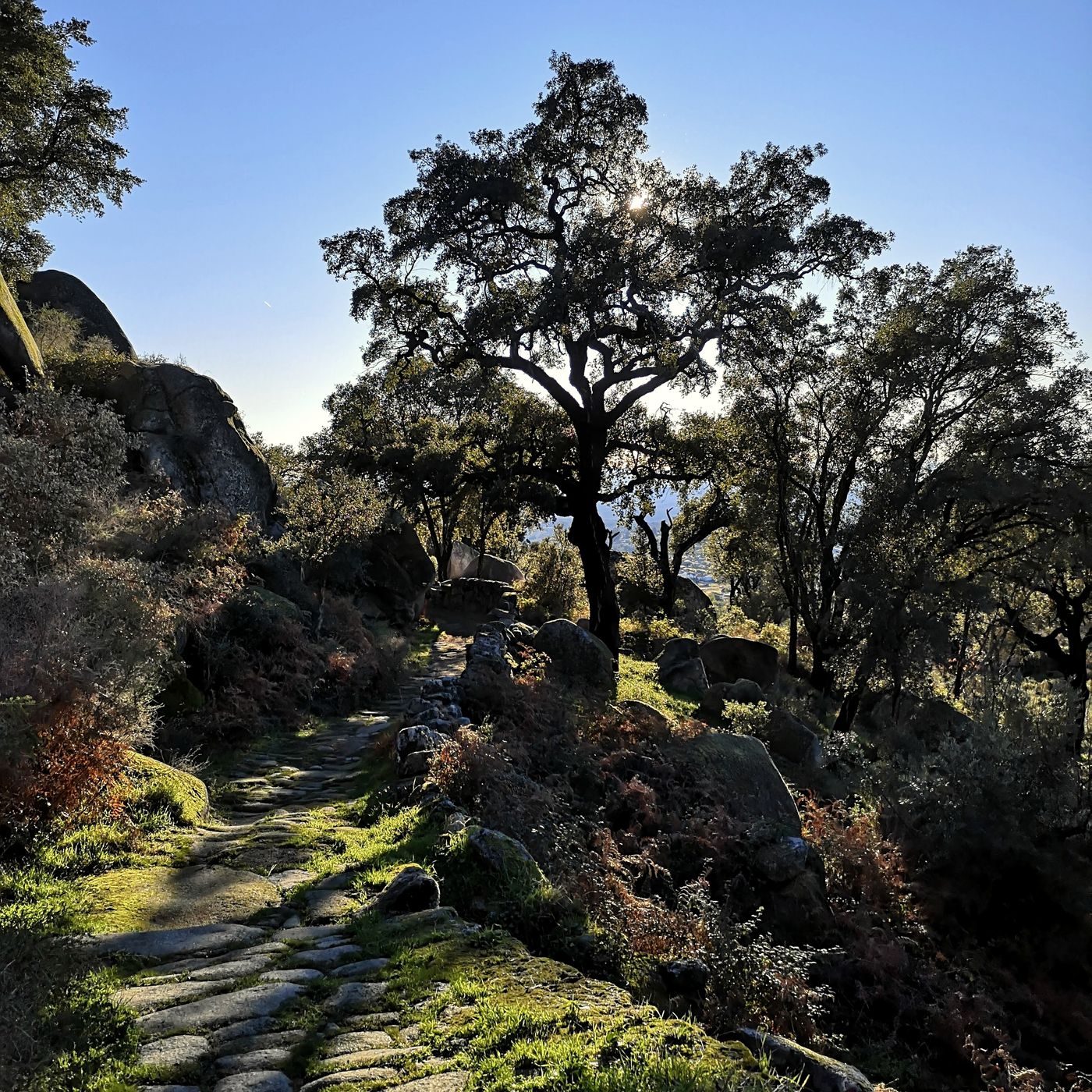
Stone, whitewash and granite on both sides of the border.

Get in touch

Contact

Planning to ride the Raya, in full or in sections? Got a question about the track, a correction or photos from your trip? Write to us or tag us on Instagram.

tell us about your Raya
Email raia.bikepacking@gmail.com